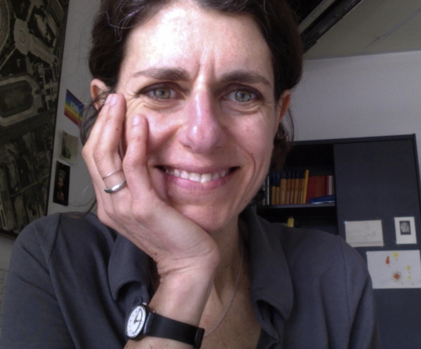
Maria Antonia Brovelli is a distinguished academic and
researcher specializing in Geographic Information Systems (GIS)
and Earth Observation. With a background in Physics and a Ph.D.
in Geodesy and Cartography, she has dedicated her career to
Politecnico di Milano (PoliMI), where she is a Professor of GIS,
Earth Observation, and The Copernicus Green Revolution for
Sustainable Development. She previously served as Vice-Rector
for the Como Campus.
Her contributions extend beyond academia through leadership
roles in international organizations. She is Vice President of
the ISPRS Technical Commission on Spatial Information Science
and co-chair of the United Nations Open GIS Initiative. She has
also contributed to ESA’s Advisory Committee on Earth
Observation and chaired the UN-GGIM Academic Network from 2020
to 2024.
Her research spans geodesy, radar altimetry, GIS, webGIS,
Volunteered Geographic Information (VGI), Citizen Science, Big
Geo Data, and GEOAI. As a global leader in Open-Source GIS, she
has an extensive publication record and has been involved in
numerous national and international research projects. Recent
projects include collaborations under Horizon2020, Interreg, and
Erasmus+, along with initiatives involving ESA.
Brovelli's work has earned her prestigious recognitions,
including the ISPRS President's Honorary Citation in 2020 and
the Sol Katz Award from OSGeo in 2015. She also holds editorial
roles in leading academic journals, further solidifying her
influence in the field.
Degree in Physics, PhD in Geodesy. From 2005-2012 she was Scientific Partner at Technische Universitaet in Munich (Germany). Since 2012 she is Assistant Professor Dep. of Hydraulic and Environmental Engineering, Transport Infrastructures and Surveys Politecnico Milano. She is author of 72 papers. Principal research activities: Satellite Geodesy, Statistical and numerical data analysis with applications to physical geodesy (geoid estimation), remote sensing (image classification), digital Mapping.
Ludovico Giorgio Aldo Biagi. Associate Professor at Politecnico di Milano. Present course: Positioning and Location Based Services. From 2022, member of the Steering committee of the ESA_LAB at Politecnico di Milano. From 2022, member of the Academic Board of the PhD in Science, Technology, and Policy for Sustainable Change of Politecnico di Milano. From 2017, habilitated for the position of Full Professor in Geomatics. From 2017 to 2022, Chair of the International Master of Science in Geoinformatics Engineering. From 2018 to 2022, member of the Academic Board of the PhD in Infrastructures and Transport of Università degli studi di Roma La Sapienza. From 2013 to 2016 chair of the Didactic Commission of Department of Civil and Environmental Engineering and secretary of the International Master of Science in Environmental and Geomatics Engineering (EGE). From 2011 to 2013 scientific responsible of the Geomatics Laboratory of the Politecnico di Milano. From 2014 to 2017, elected member of the Council of the Italian Association of Surveying and Cartography Professors (AUTEC). From 2013, Associate Editor of Applied Geomatics (ISSN 1866-9298). From 2012 to 2016, secretary of the WG IV-3 (Geospatial Databases and Location Based Services, Global DEM Interoperability) of the International Society for Photogrammetry and Remote Sensing. Author or coauthor of more than 100 national and international scientific research publications and 4 Italian research or academic books.
MSc Degree in Civil Engineering, PhD in Geodesy. Associated Professor at the Department of Civil and Environmental Engineering - Politecnico di Milano. Teacher of Data analysis at the bachelor’s degree in Environmental and Land Planning Engineering and co-teacher of Geospatial Data Analysis at the Master of Science’s degree in Geoinformatics Engineering. Member of the board of the PhD program in Environmental and Infrastructures Engineering. Current chair of the Geoinformatics Engineering Study Programme. Research field: GNSS meteorology, Multispectral and Hyperspectral Earth Observations.
Daniele Oxoli, born in Como, Italy, in 1990, holds a B.Sc. degree in civil and environmental engineering (2013) and an M.Sc. degree in geomatics engineering (2015) from Politecnico di Milano, Milan, Italy. He successfully completed his PhD with honours in Geomatics Engineering from Politecnico di Milano in 2019. Presently, he serves as Assistant Professor at the Geomatics and Earth Observation laboratory (GEOlab) of Politecnico di Milano, where he teaches courses such as Geographic Information Systems, Software Engineering, and Earth Observation. His work primarily revolves around various research and educational initiatives related to Volunteer Geographic Information, Geoinformatics, Earth Observation, and spatial statistics. He has been a Charter Member of the Open Source Geospatial Foundation (OSGeo) since 2017 and has held the position of Secretary for the ISPRS WG IV/7 "Intelligent Systems in Sensor Web and IoT" since 2022.
Vasil holds an MSc in Civil Engineering for Risk Mitigation and a PhD in National Security. He joined Politecnico di Milano’s GEOlab in 2019 as a research fellow and has been an Assistant Professor there since 2024. His research focuses on Earth Observation, GIS, and GeoAI for environmental monitoring and risk assessment, with applications in air quality, land cover change, landslide hazards, and planetary mapping. He is also engaged in capacity building and in promoting open-source geospatial solutions to support climate adaptation and disaster risk management.
Alberto Vavassori was born in Sarnico (Bergamo), Italy, in 1995. In 2019, he obtained the M.Sc. degree with honours in Environmental and Land Planning Engineering at Politecnico di Milano, with a thesis about the combined use of Remote Sensing and Volunteered Geographic Information for Crisis Mapping applications. From September 2020 to October 2021, he was a temporary research fellow at the GEOlab of Politecnico di Milano. In November 2024, he obtained a PhD in Environmental and Infrastructure Engineering (Geomatics area). His research activity involves the use of Geographic Information Systems, Earth Observation, and Citizen Science for environmental applications, with a focus on urban climatology.
Lorenzo Amici was born in Rome, Italy, in 1995. He obtained his BSc degree in Environmental Engineering at the University of La Sapienza, Rome, in 2017, and his MSc degree in Geoinformatics Engineering at Politecnico di Milano in 2021, with a thesis focusing on landslide susceptibility mapping and displacement monitoring. In February 2022 he joined the GEOlab team as a temporary research fellow, focusing on the analysis of lake water quality with Remote Sensing data. In November 2022 he started his PhD in Geomatics at Politecnico di Milano. His main field of research is the study of the effects of environmental phenomena on human health with Artificial Intelligence.
Stefano Conversi was born in Viterbo, Italy, in 1997. He obtained both his BSc degree in Civil and Environmental Engineering and MSc honours degree in Civil Engineering for Risk Mitigation at Politecnico di Milano. His MSc thesis was centered on the design of a WebGIS platform to support seismic crisis management in a dam-populated area. Since February 2022 he is part of the Geolab team as PhD student, in collaboration with Mi-Pore! research group, within the context of Progetto Innovazione promoted by Regione Lombardia. Currently, he is working with the regional General Direction for the Climate and the Environment, in the development of a project for the detection and prioritization of areas affected by the presence of alien invasive vegetation, aiming to preserve regional biodiversity. His main fields of interest are the ones of crisis management and geoprocessing techniques to support risk assessment.
Juan Pablo Duque Ordoñez was born in Medellin, Colombia in 1996. He graduated from his bachelor’s in computer science with honors from Universidad del Norte, in Barranquilla, Colombia, and then obtained a master’s degree in Geoinformatics Engineering at Politecnico di Milano in 2022 with a thesis on Digital Twin Earth. He is currently pursuing a PhD in Environmental Engineering also at Politecnico di Milano in the research area of Digital Twin Cities, in collaboration with EBWorld. He has more than 3 years of work experience in web development as a full-stack developer using technologies such as Angular, Django, Vue, OpenLayers, and Node.js. His main interest is to use his knowledge on web technologies to help grow the GIS field and to create meaningful geospatial web tools for the community.
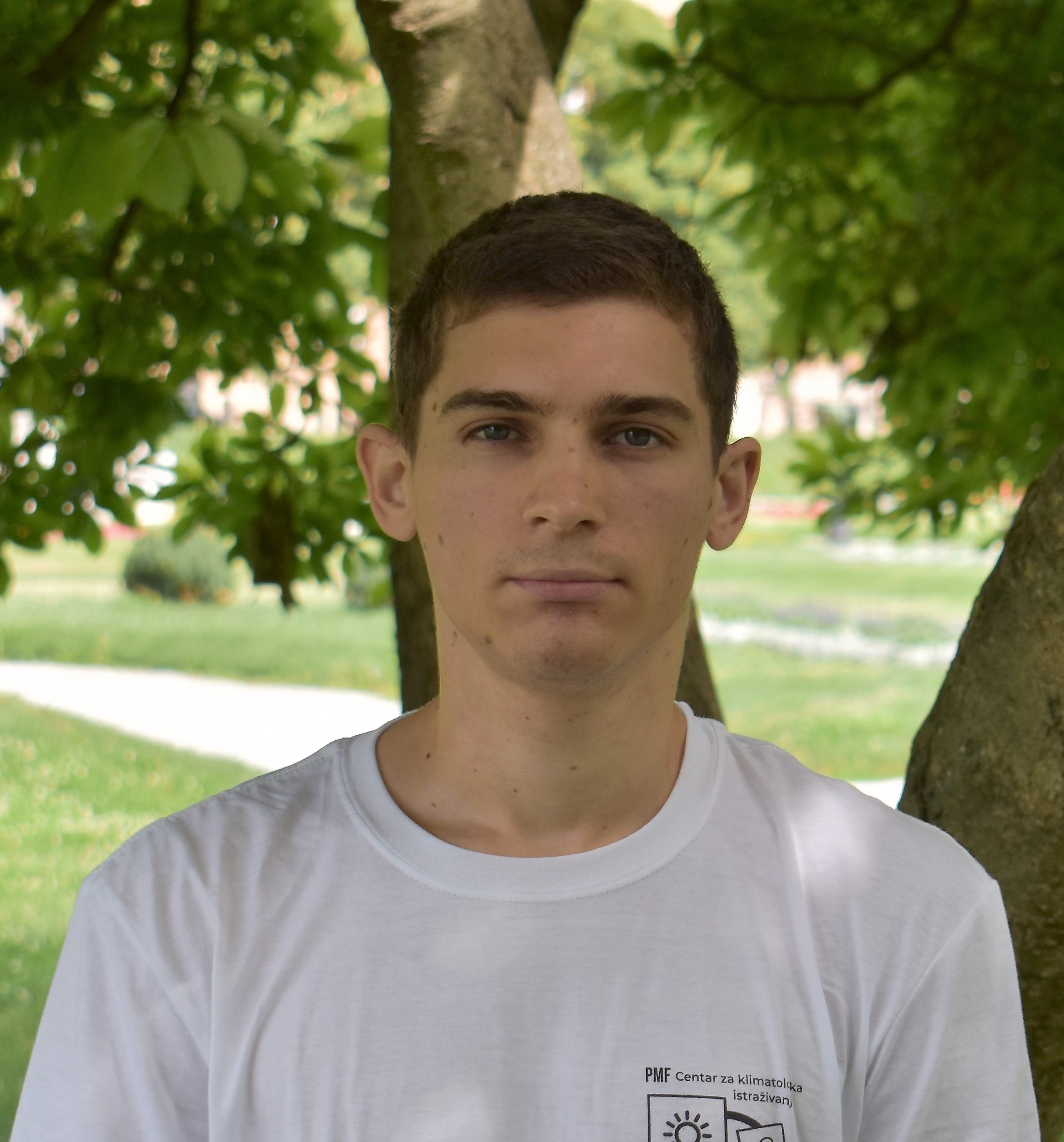
Matej Žgela was born in Zagreb, Croatia. He obtained his B.Sc. at the University of Zagreb, Faculty of Science, Department of Geography in 2018 with the research on local climate zones and their thermal characteristics in Zagreb. He continued his studies with a master's course in Physical Geography with Geoecology and obtained M.Sc. in 2020 with a thesis on the impact of land surface changes on heat features in the city of Zagreb based on Landsat satellite data. He joined Department of Geophysics in July 2020 as a Project Associate and worked on climatic vulnerability of Croatia and adaptation possibilities of urban and natural environments. Since September 2023 he is pursuing a PhD in Environmental and Hydraulic Engineering and Geomatics. His main research interests include urban climatology, remote sensing of the urban environment, local climate zones, urban heat island, climate modeling and mobile air temperature measurements.
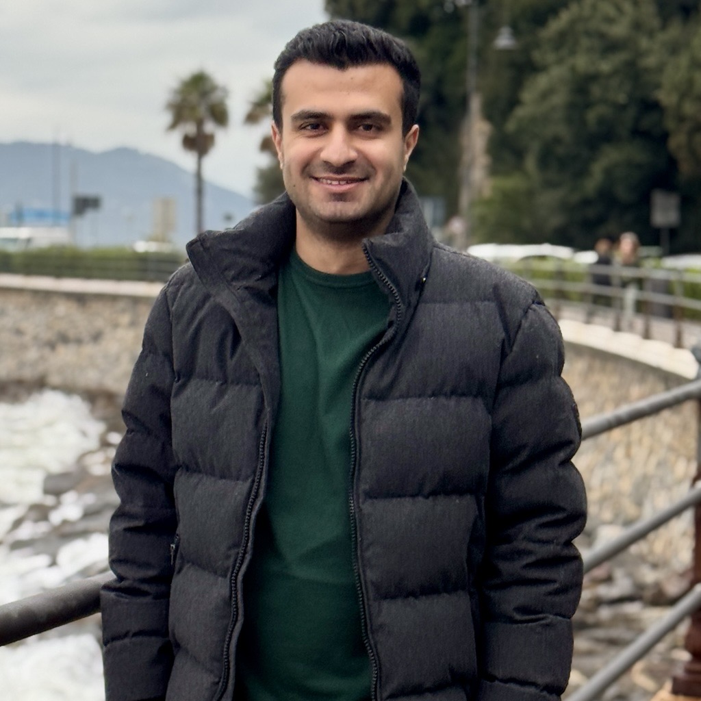
Afshin Moazzam was born in Darab, Iran in 1996. He obtained his BSc in Civil Engineering in Iran in 2019 and his MSc in Environmental and Land Planning Engineering in Politecnico di Milano in 2023. His field of interests are earth observations and remote sensing and for his master's thesis, he worked on finding the spatiotemporal variability of suspended particulate matter and turbidity in Lake Varese by utilizing Sentinel-2 and their relation to meteorological data. In October 2023, he joined GEOlab to collaborate on the LCZ-ODC project and work on finding relations between temperature and local climate zones in Milano metropolitan area.
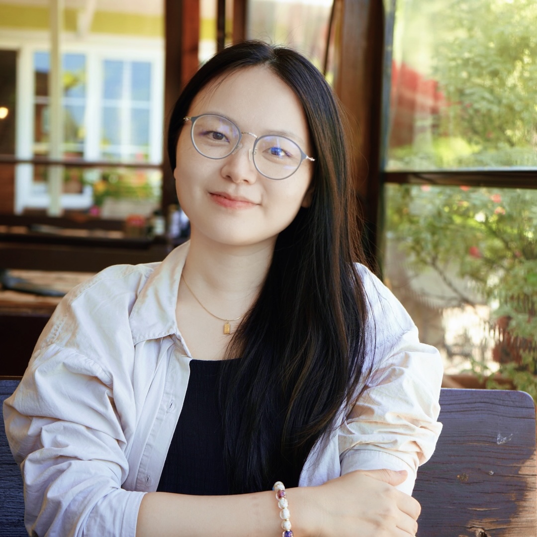
Qiongjie Xu obtained her Bachelor of Science(BSc) degree in Network Engineering at Sun Yat-sen University in 2013 and her Master of Science (MSc) degree in Geoinformatics Engineering at Politecnico di Milano in 2023, with a thesis about the prediction of landslide susceptibility maps using Machine Learning techniques. Since June 2024 she joined the GEOlab team of Politecnico di Milano as a research fellow. Her research focuses mainly on doing land use land cover benchmarking. Her expertise is in the fields of Geoinformatics, Remote Sensing, Geographic Information Systems, and Computer Science.
Xiangyang Song was born in Henan, China. He obtained the B.Sc. degree in Geographic Information Science at North China University of Science and Technology and the M.Sc. degree in Geoinformatics Engineering at Politecnico di Milano. From 2023, he joined the GEOlab team of Politecnico di Milano as a research fellow. Since 2024, he is a National PhD candidate in Earth Observation at Geomatics Research & Development s.r.l. and Sapienza University of Rome. He is mainly focused on atmospheric water vapor modeling and the nowcasting of convective rainfall events.
Quang Huy was born in Hanoi, Vietnam, in 1996. He obtained B.Sc. in Urban and Regional Planning (Hanoi Architectural University, 2019), MSc in Urban project, Heritage and Sustainable Development (ENSA Toulouse and Hanoi Architectural University, 2022) and MSc in Landscape Architecture, Land Landscape Heritage in (Politecnico di Milano, 2024). Currently, he works as a research fellowship at the GEOlab of Politecnico di Milano. His main topic of interest is Volunteered Geography Information and Open-Source technology application in geography.
Nikolina Zallemi was born in Thessaloniki, Greece, in 1999. She obtained her B.Sc. in Geodetic Engineering at the Polytechnic University of Tirana, in 2021. She started the M.Sc. in Geoinformatics Engineering at Politecnico di Milano, in 2021 and received the title in July 2024 with a thesis in Advancement in Precise Point Positioning by GNSS and LEO integration. In September 2024, she started a PhD in Environmental and Hydraulic Engineering and Geomatics. Her research interests are focused in the field of Positioning, specifically in processing phase observations using LEO constellations.
Mohanad is originally from Nablus, Palestine, and was born in Amman, Jordan, in 1997. He earned his BSc in Civil Engineering (2019) and MSc in Geoinformatics (2024). His master's thesis was supervised by Professor Maria Brovelli and focused on LangRS (GitHub), a project exploring the intersection of Remote Sensing (RS) and Artificial Intelligence (AI). Currently, he is an AI researcher at EURAC Research, where he develops AI-driven solutions leveraging remote sensing imagery and geospatial data. His primary areas of interest include GeoAI, Remote Sensing, and Computer Vision, with a focus on advancing geospatial technologies and applications.
Is a GIS and Remote Sensing specialist with over 15 years’ experience working in the geospatial field. She completed a BSc degree in Environmental Conservation and Natural Resource Management at the University of Nairobi, Kenya and an MSc degree in GIS and Remote Sensing from the Jomo Kenyatta University of Agriculture and Technology (JKUAT), Kenya in the year 2023. Her interests revolve around generation, analysis and interpretation of Earth Observation data to inform decisions and reporting on Forest & Landcover mapping; Forest Reference Level (FRL) and REDD+ processes; Green House Gas inventory (GHGI) for the Forest and Other Land Use (FOLU) sector; Early warning systems and Climate change – Mitigation and Adaptation. Most recently she co-ordinated the FOLU sector team in data analysis to inform GHGI reporting under the Biennial Transparency Reporting (BTR) for UNFCCC. During her operations she noticed a challenge of accurate mapping of forests found within the dryland areas using satellite data. Her PhD research is therefore focusing on how to integrate Earth Observation datasets to monitor dryland forest dynamics.
Julia Leonardi, born in 1998 in Warsaw, Poland, holds a B.Sc. from the College of Inter-Faculty Individual Studies in Mathematics and Natural Sciences at the University of Warsaw, specializing in Geoinformatics. In April 2024, she earned her M.Sc. in Geoinformatics Engineering from Politecnico di Milano, focusing on developing deep learning models for landslide detection. Since December 2024, she has been a Ph.D. student at GEOLab, working on enhancing geospatial foundation models with hyperspectral imagery. Her primary interests lie in harnessing artificial intelligence to address environmental challenges using earth observation data. Outside her professional pursuits, she is a passionate climber.
Guests
Enrico G. Caiani graduated in Electronic Engineering in 1996 at
Politecnico di Milano, where he received his PhD in Biomedical
Engineering in 2000. In 2000 and 2003 he was Visiting Research
Assistant at the Noninvasive imaging Laboratory, University of
Chicago,IL, USA. From 2005 he was Researcher at Politecnico di
Miano, and since 2014 he is Associate professor at the
Electronics, Information and Bioengineering Dpt., where he
teaches the classes of “E-health: methods and applications” and
“Biomedical Image Processing Laboratory”.
Since 2014
(ASN2012) he has been qualified as Full Professor in Biomedical
Engineering.
He is member of the PhD board in “Data
Analysis and Decision Science” at Politecnico di Milano (since
2017), international Faculty affiliate at the University of
Illinois in Chicago, Chicago, USA (since 2016), member of the
Innovation advisory board of the CompBioMed Centre of
Excellence, London, UK (since 2017), and affiliated member of
the Istituto di Elettronica e Ingegneria dell’Informazione e
Telecomunicazioni (IEIIT), Consiglio Nazionale delle Ricerche
(CNR), Turin, Italy (since 2017).
Author of 7 book chapters
and >100 articles in peer reviewed journals (IF>250, H-index=27,
total citations>3300), 130 conference proceedings and >100
abstracts in international conferences, he coordinated several
research projects (National Coordinator PRIN 2008-10, Principal
Investigator and international coordinator “QT-Bed: evaluation
of changes in ventricular repolarization and its relation with
heart-rate during long-term bed-rest”, call ESA AO-BR-13,
2018-20).
He is involved in the European Society of
Cardiology (ESC), where he serves as Past-Chair of the Working
Group on e-Cardiology, member of the Advocacy and Public Policy
Committee, of the Regulatory Affairs Committee on Medical
Devices, and Vice-Chair of the Digital Cardiology Board
Committee. In addition, he has been representing the ESC in the
eHealth stakeholder group (DG-CONNECT, since 2016), and in the
nel Medical Device Coordination Group - New Technologies
(DG-GROW, since 2019).
In addition, he is member of the
Editorial Board of the European Heart Journal-Cardiovascular
Imaging, Sensors, and of the Journal of Clinical Medicine –
Cardiology section.
His main current interests are focused
on the development of digital health and mobile health
solutions, including health geomatic, image processing and space
physiology.
Dr. Polychronis (Pol) Kolokoussis, holds a Diploma in Rural and Surveying Engineering from NTUA (1993) and a PhD Degree in Remote Sensing from NTUA (2008). Since 2002 he is a faculty member of the Remote Sensing Laboratory, School of Rural, Surveying & Geoinformatics Engineering, NTUA, His research interests and areas of expertise include: Multispectral, hyperspectral, thermal, SAR, LiDAR etc sensors and (satellite, aerial, ground and underwater) platforms/ systems; Acquisition and processing of remote sensing imagery emphasizing in methods and techniques for various applications like change detection, modeling of phenomena, risk assessment for natural hazards and the protection of the natural environment; Development of algorithms and methods for the analysis of remote sensing imagery as well as their integration with GIS. He has published work in several international journals and conferences, and has participated in more than thirty National and European Research Projects. Currently he is a Visiting Scholar at GIS-GEOlab.
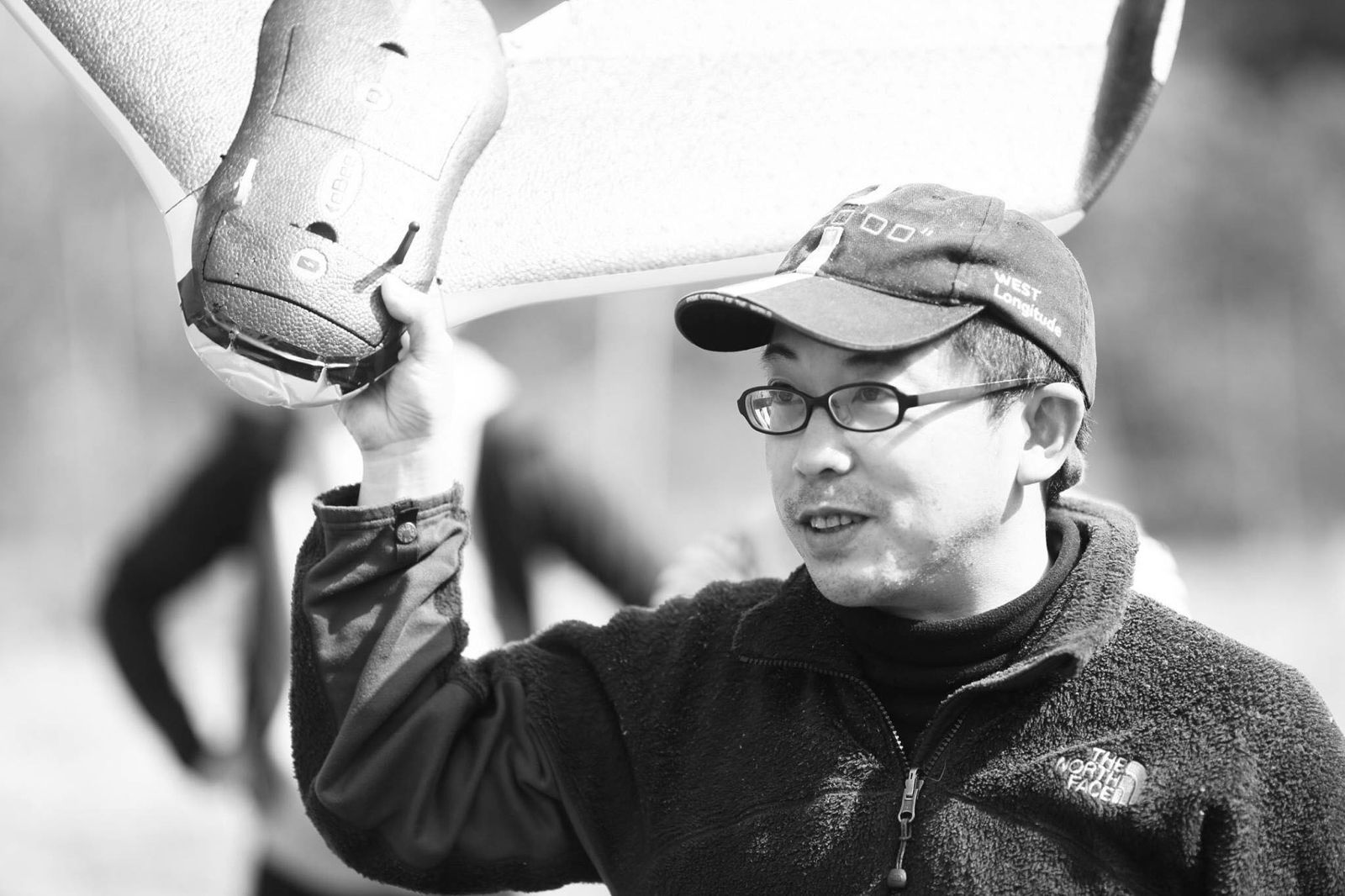
Taichi Furuhashi is passionate about mapping, connecting local communities with maps, and sharing knowledge to empower people. As you know, the Huge Earthquake and Tsunami destroyed a lot of cities and local communities in the East Japan area, 2011. He and local people are trying, how to make a more resilient society with Mapping, Panorama/VR, and Drone technology. Taichi is a professor at Aoyama Gakuin University and President of CrisisMappers Japan, NPO. Now he has started DRONEBIRD project with drones for Disaster Crisis Response, supported by WeRobotics/FlyingLabsNetwork. In addition, he has worked as advisory board chairman of Project PLATEAU as 3D Digital Twin.
Past Members (most recent to least recent)
Rodrigo Cedeño was born in Mexico City. After obtaining the B.Sc. in Mechatronics Engineering he worked for 8 years at FIAT, first as a Motion Analysis Engineer and afterwards as a Vehicle Dynamics Engineer. In 2021 he obtained an M.Sc. in Geoinformatics Engineering at Politecnico di Milano. In 2022 he obtained an MSc. in Environmental and Land Engineering at Politecnico di Torino. During his Master's he participated in the multidisciplinary and international honour program Alta Scuola Politecnica. In November 2024, he obtained a PhD in Geomatics at Politecnico di Milano. His main research fields are Artificial Intelligence applied to atmospheric pollution using Earth Observation. He also specialises in open geospatial infrastructures such as the Open Data Cube and Blockchain.
Angelly Pugliese was born in Soledad, Colombia, in 1999. She obtained her B.Sc. in Computer Science with honours from Universidad del Norte, Colombia, in 2020. She started the M.Sc. in Geoinformatics Engineering at Politecnico di Milano through a double degree program between the mentioned universities and received the title in October 2021 with a thesis in Amazon Forest change monitoring using machine learning. She worked as a freelance web developer during the last semester of the M.Sc. In November 2021, she started a PhD in Environmental Engineering and is currently working as a geospatial solutions developer at the World Bank Group where she was an intern in the summer of 2019. She is currently into webGIS and the processing of remote sensing data using machine learning.
Daniela Carrion graduated in Environmental Engineering at Politecnico di Milano in 1999 and she received the PhD in Geodesy and Surveying at Politecnico di Milano in 2003. From 2003 to 2009 she was Research Fellow at Politecnico di Milano working on geoid computation, GIS database design and high resolution Remote Sensing images georeferencing in urban environment. From 2009 to 2011 she had a post-doc position at the Joint Research Centre (Ispra, Italy) of the European Commission, where she was involved in the development of a Scientific Validation Protocol for Emergency Response Geo-information products and she performed technical and scientific validation of Emergency Services and Crisis Maps. Since 2012 she is Assistant Professor at Politecnico di Milano. Her main research activities are: I) use of Volunteered Geographic Information for environmental applications and Crisis Mapping; II) database design and implementation for historical data, old maps georeferencing and integration of historical data and maps into a GIS; III) map readability analyses; VI) environmental data analysis in a GIS environment V) geoid computation, at local and regional scale; VI) height datum problem and gravity field interaction with levelling measurements.
Ahmed Yassin, originally from Sudan and born in Khamis Mushait, Saudi Arabia, in 1994, obtained his B.Sc. in Survey Engineering from the University of Khartoum in 2017. In 2024, he earned his M.Sc. in Geoinformatics Engineering from Politecnico di Milano, with a thesis on exploring crowdsourced temperature data from Milan for urban heat island analysis. Since September 2024, he has been an intern at Politecnico di Milano, focusing on Geographic Information Systems (GIS), Remote Sensing, and Citizen Science for environmental applications.
Ahmed Mukhtar was born in Khartoum, Sudan in 1996. He obtained his BSc degree in Surveying Engineering at the University of Khartoum in 2018, and his MSc in Geoinformatics Engineering at Politecnico di Milano in 2024, with a thesis focusing on exploring crowdsourced temperature data from Milan for urban heat island analysis. In September 2024, he joined the GEOlab team of Politecnico di Milano as an intern, focusing on Geographic Information Systems (GIS), Remote Sensing, and Citizen Science for environmental applications.
Timur Obukhov is in-charge of Geo-analytics at the United Nations Headquarters. He has over 20 years of experience in the United Nation’s demining, humanitarian, and peacekeeping operations in Azerbaijan, Russian Federation, Ethiopia, Sudan, Timor-Leste, and UNHQ in New York. Timur is also a student in the Data Science Ph.D. Program at La Sapienza University in Rome under the supervision of Professor Maria Brovelli. Other interests include traveling, scuba diving, running, and remembering irrelevant facts from Wikipedia :).
Ali Mohamed, born in Khartoum, Sudan in 1995, holds a Bachelor of Science (BSc) in Geomatics Engineering from the University of Khartoum and a Master of Science (MSc) in Geoinformatics Engineering from Politecnico di Milano, where his thesis focused on "Design and Development of an Application for Remote Sensing the Water Quality of the Insubric Lake." With two years of prior experience as a Geomatics Engineer, he joined the GEOlab team in October 2023. He works in enhancing and developing software application interfaces for the analysis of satellite images. His expertise is in the fields of Geoinformatics, Remote Sensing, and Geographic Information Systems.
Lorenzo Stucchi was born in Vimercate (Monza), Italy in 1995. He obtained his BSc degree (2017) and MSc degree (2020) in Environmental and Land Planning Engineering at Politecnico di Milano. From June 2020 to January 2021 he was a temporary research fellow at GEOlab of Politecnico di Milano in the project ViaLibera?!. The project was focused on the VGI for the collaborative mapping of the barriers and accessible paths for people with motor disabilities. From February 2021, he is a PhD student in the Department of Civil and Environmental Engineering in collaboration with Ricerca sul Sistema Energetico - RSE S.p.A.. His research activity is focused on Geographic Information Systems and Remote Sensing for the renewable energy sector.
Kauê was born in Pato Branco, Brazil, in 1994. He obtained his B.Sc. in Cartographic and Surveying Engineering (2017) and his MSc in Geodetic Siences, both at the Federal University of Paraná (UFPR). Currently, he is a visiting Ph.D. researcher at the GEOlab of Politecnico di Milano. His main topic of interest is the mapping of sidewalks and pedestrian mobility in general using Open Source GIS tools, mainly OpenStreetMap-related. He is also a specialist in Mobile Mapping Systems.
She has a degree in Cartographic Engineering from the Federal University of Paraná (1999), a master's degree in Environmental Management from the University of Nottingham, UK (2003), and a PhD in Geodetic Sciences from the Federal University of Paraná (2012). She is currently a professor at the Federal University of Paraná and was a visiting researcher at the Politecnico di Milano (2023). She has experience in the field of Geosciences, with an emphasis on Cartography, Geographic Information Science, Spatial Databases and Spatial Data Infrastructure. She was chair of the Open Source Geotechnologies Commission (2015-2023) and is vice chair of the Geosemantics Commission (2023-present) of the International Cartographic Association, Board Member of the OSGeo Foundation, Vice-chair for South America of the GeoForAll Network (ICA-ISPRS-OSGeo) and co-chair of the ISPRS Working Group on Openness in Geospatial Science and Remote Sensing.
Capizzi Emanuele was born in Magenta (Milano), Italy, in 1993. He obtained the M.Sc. degree in Environmental and Land Planning Engineering at Politecnico di Milano in 2021, with a thesis about the improvement of UAV telemetry data for direct photogrammetry surveys. Since November 2021, he is working as a temporary research fellow at the GEOlab of Politecnico di Milano. His research focuses mainly on monitoring air quality using Earth Observation and Geographic Information Systems.
Juan Fernando Toro Herrera is a Civil Engineer and Economist from the Universidad de los Andes, Colombia, and obtained the specializing Master of Civil Engineering for Risk Mitigation at Politecnico di Milano in December 2018. He became part of the Geomatics and Earth Observation laboratory (GEOlab) team on August of 2019 as a research fellow, following a project to strengthen the cross-border Open Data sharing, particularly of geospatial data, between public administrations favouring interoperability and exposure of data. Recently, in November 2019, he became a PhD candidate in the Environmental and Infrastructure engineering program at Politecnico di Milano. His research interest includes spatial data analysis and spatial statistics.
Lorenzo Gianquintieri obtained both his BSc degree (2015) and his MSC degree (2017) in Biomedical Engineering at Politecnico di Milano. Since November 2018 he is a Ph.D. student with an interdepartmental scholarship between the Electronics, Information and Bioengineering dpt. and the Civil and Environmental Engineering dpt. His line of research is focused on Health-Geomatics, which is the application of geomatics technologies to health and healthcare-related data, working on the development of analysis frameworks and processing platforms to serve as decision-making support in the management of healthcare related resources, specifically regarding out-of-hospital emergency medicine.
Eng. Gorica Bratic obtained her BSc degree in Environmental Engineering at University of Novi Sad, Faculty of Technical Sciences in 2015 and MSC degree in Environmental and Geomatics Engineering at Politecnico di Milano in 2018. Since June 2018 she joined the GEOlab team of Politecnico di Milano as a temporary research fellow and in November 2018 she started her PhD on the Department of Civil and Environmental Engineering. Her main field of interest is validation of global high-resolution land cover maps.
Andrea Folini was born in Sondrio in 1996. In 2021 he obtained an MSc degree in Computer Science and Engineering at Politecnico di Milano with a specialization in software engineering for complex systems. For his master’s thesis, he developed an open-source plugin for QGIS to perform Cluster Analysis on geospatial data. From February to April 2022, he did an internship at the GEOlab of Politecnico di Milano, where he worked on the development of a blockchain application in the context of data sharing in citizen science. Since April 2022, he is a temporary research fellow at GEOlab. He is involved in a project focused on multi-hazard mapping of urban areas using machine learning and deep learning techniques.
Carlo Andrea Biraghi was born in Milano, Italy, in 1989. He received the B.Sc. and M.Sc. degree in architecture in 2011 and 2014 from the Politecnico di Milano, Milan, Italy. Since 2014 he has been working as freelance architect, artist and computational designer while teaching in several courses at Politecnico di Milano related to urban morphology and mathematics. In 2019, he obtained his Ph.D. degree from the Architecture, Built Environment and Construction Engineering Department of Politecnico di Milano. He is currently a research fellow at the Geomatics and Earth Observation laboratory (GEOlab) of Politecnico di Milano where is responsible for Citizen Science aspects. He’s also member of the IMMdesignlab where he focuses on GIS and the development of spatial metrics.
Dr. Maryam Lotfian Obtained her BSc in Geomatics Engineering from Tehran University (Iran) in 2013. In 2016, she received her MSc in Environmental and Geomatics Engineering from Politecnico di Milano (Italy) with a thesis on urban climate classification using satellite imagery. In April 2022, she obtained her PhD with honors in collaboration between Politecnico di Milano and the University of Applied Sciences and Arts Western Switzerland (HEIG-VD) with a thesis on the integration of machine learning algorithms in citizen science projects with the goal of improving data quality and sustaining participation. Since April 2022, she is a postdoctoral researcher at HEIG-VD. Her areas of interest in research include volunteered geographic information (VGI), citizen science, spatial data analysis, spatial statistics, and satellite image analysis. She has worked on a number of projects including the development of geospatial applications as well as the statistical analysis of geospatial data using free and open-source software.
Katarina Spasenovic was born in Novi Sad, Serbia, in 1991. She obtained her BSc degree in Environmental Engineering at the University of Novi Sad, Faculty of Technical Sciences in 2014 followed by MSC degree in Civil engineering for Risk Mitigation at Politecnico di Milano in 2018. Since November 2018 she is making a PhD in Geomatics at Politecnico di Milano, studying the spatial analyses that can be done in a GIS environment to exploit social media data for crisis mapping.
Silvia Raviscioni was born in Chiavenna (Sondrio), Italy, in 1995. In 2021 she obtained the M.Sc. degree in Architecture and Building Engineering at Politecnico di Milano, with a thesis on slum upgrading with a special focus on the gathering of the necessary dataset. Since November 2021, she is working as an assistant lecturer in Politecnico di Milano and since December 2021, she is a research fellow at the GEOlab of Politecnico di Milano.

He obtained a degree with honors in Computer Engineering at Politecnico di Milano with specialization in design, development and management of multimedia applications, multi-dimensional graphical systems and Geographic Information Systems (GIS) for the treatment of spatial data. He obtained a PhD with honors in Geodesy and Geomatics at Politecnico di Milano, with specialization in techniques for acquiring, geocoding, analyzing and processing geographic data and development of advanced geocomputing software. He is responsible for design, implementation and development of the Spatial Data Infrastructure (SDI) of the Municipality of Como and his current research activities at Politecnico di Milano focuses on GIS, WebGIS, multi-dimensional Virtual Globes and automatic integration of heterogeneous geographic data for environmental and territorial analysis by means of multi-resolution algorithms. He is co-author of several national and international scientific publications on geodetic and geomatic themes.
Post-Doctorate Geomatics Student at Politecnico di Milano, Erasmus Program. Professor at UFU - Federal University of Uberlândia - Brazil. Degree in Economics by State University of Londrina (UEL) at 2002. Masters in Business by FEA/USP - University of Sao Paulo (2005) with UFSC/LPA /SEBRAE grant. PhD in Business Administration at FEA/USP with CNPQ grant at 2013. Sandwich research period made in 2011 at the Università Bocconi in Milan-Italy supervised by Prof. Maurizio Zollo. Research line are focused on systemic vision applied to organizational learning processes and green logistcs at supply chain management. Coordinator of Golden for Sustainability Brazil - global research project leaded by Prof. Maurizio Zollo from University of Bocconi, Italy. Coordinator of PRME - Principles of Responsible Management Research at UFU. Member of Enviromental Management Research Group (EEGAS) and Logistcs Studies and Sustainable Management (ELGOS) at UFU. Ex-professor at UNIFAFIBE 2003-2005, University of Ribeirão Preto (UNAERP) 2005-2010, FEARP/USP - University of Sao Paulo 2010-2013. Worked as Marketing MBA Coordinator at FAAP - Fundação Armando Álvaro Penteado at Ribeiroo Preto - SP, Brazil 2012-2013. My future interests are focused on conducting academic research on Green Logisctics and Sustainability Business Geographic and Economic Data.

Dr. Carolina Arias Muñoz obtained a BSc degree in Environmental Engineering at Medellin University in 2006 and an MSc degree in Environmental and Geomatics Engineering at Politecnico di Milano in 2012. Her MSc thesis was about geospatial Web services for limnological data, a case study of sensor observation service for ecological observations. She is an Associate Professor in San Buenaventura University in Colombia since 2007, working and teaching in the fields of environmental planning and GIS. Since November 2013 she is a PhD student at the HydroInformatics Lab of the Como Campus of Politecnico di Milano. Her research activity is focused on Spatial Data Infrastructures (SDI) and Geospatial Web Services, Environmental Big Geo Data and FOSS4G. On her PhD thesis she is focusing on exploring the subject of Big Geo Data management, from storing to visualisation. She is a Charter Member of OSGeo and a member of the Organizing Committee of FOSS4G Europe 2015.
Eng. Rafaela Veloso de Oliveira obtained her BSc degree in Production Engineering from Federal University of Itajubá (Unifei) in 2014. She is currently a (direct) PhD student in the Operational Research joint program of Instituto Tecnológico de Aeronáutica (ITA) and Federal University of São Paulo (Unifesp). Her thesis focuses on developing mathematical models for humanitarian supply chains under uncertainties via Bayesian inference. She is interested in GIS applications for humanitarian purposes, mainly for the facility location problem.
Eng. Gabriele Prestifilippo obtained a BSc degree in Computer Engineering at Università degli Studi di Catania in 2014. In 2016 he obtained a MSc in Computer Science and Engineering at Politecnico di Milano with a thesis on Geographic Information Systems (GIS), creating a web application to visualize and analyze multidimensional datasets in more than three dimensions. He is a contributor to FOSS community. He is interested in full-stack web development and he is reasearching about web technologies involved in the GIS.
Eng. Dalton Borges obtained, in 2014, a BSc degree in Production Engineering from Universidade Federal de Itajubá (UNIFEI), Brazil, with sandwich period at Université du Québec à Trois-Rivières (UQTR), Canada. In 2016 he obtained a MSc degree in Production Engineering from UNIFEI, which thesis focused on the usage of linear programming as method for project portfolio selection. Since March 2016, he is a PhD student in Production Engineering at UNIFEI and, since March 2017, a temporary research fellow at Politecnico di Milano, Italy. His research interests are in project portfolio management and selection, multi-criteria decision making (MCDM) and integration of MCDM methods to GIS.
Dr. Marco Minghini obtained a BSc degree with honors in Environmental Engineering at Politecnico di Milano in 2008, and an MSc degree with honors in Environmental and Geomatic Engineering at Politecnico di Milano in 2010. In 2014 he obtained his PhD with merit in Environmental and Infrastructures Engineering with a thesis on the use of open source software, including mobile data collection and virtual globes for VGI and citizen science applications. Since 2014, he is a Postdoctoral Research Fellow at the GEOlab of Politecnico di Milano. Driven by the use of open source software, his current research focuses on Web Mapping, VGI, Citizen Science, OpenStreetMap, Land Use/Cover change. He was a member of the past COST Action TD1202 "Mapping and the Citizen Sensor" and COST Action IC1203 “ENERGIC” and he is a member of the Citizen Science COST Action CA15212. He is a Charter Member of OSGeo, the Secretary of ISPRS WG IV/4 “Collaborative Crowdsourced Cloud Mapping (C³M)”, and a Voting Member of the Humanitarian OpenStreetMap Team. He was the Secretary of FOSS4G Europe 2015. He has co-authored about 50 international research papers.
Dr. Monia Molinari obtained the MSc with honors in Environmental and Land Planning Engineering at Politecnico di Milano in 2008. In 2012 she obtained the PhD in Earth Sciences at the Università degli studi di Pavia with a thesis on an open source GIS-embedded approach for landslide modeling in innovative early warning monitoring systems. During and after the PhD she collaborated with the University of Applied Sciences and Arts of Southern Switzerland (SUPSI) Politecnico di Milano.
Eng. Stefan Jovanovic obtained his BSc degree in Geodesy at University of Banja Luka, Faculty of Architecture, Civil engineering and Geodesy in 2012. In 2016, he obtained his MSc degree in Environmental and Geomatics Engineering with a thesis on the combined use of GIS and geodetic survey. The work was based of integration of low-cost UAVs and FOSS technologies used to create Digital Surface models. Since September 2018, he works as temporary research fellow at the GEOlab of Politecnico di Milano. The research is focused on using free and open source software in BigGEO data.
Accomplished researcher that managed to build bridges and make valuable contributions to both industry and academia. As a member of an interdisciplinary GIS research group, built strong cooperation and self-management capabilities as well as assertive verbal and written communication skills. Obtained a PhD degree with an emphasis on geoprivacy and ethical citizen science; modeling social media geo-referenced data to produce geospatial inferences and communicating the research outcomes in journals and international conferences. As a developer, made key contributions to free and open source projects, including authoring the second edition of the PostGIS Cookbook and enabling hotspot analysis functionalities to the QGIS project.
Edoardo Pessina was born in Milan, Italy, in 1995. He received the B.Sc. degree in Environmental Engineering in 2018 and the M.Sc. degree in Geoinformatics Engineering in 2019 from Politecnico di Milano. Since November 2019 he is a Ph.D. student in the Department of Civil and Environmental Engineering and a temporary research fellow at the GEOlab of Politecnico di Milano. His research is focused on the development of Free and Open Source Software for citizen science and geospatial projects. His work can be reviewed at github.com/epessina.
Dr. Candan Eylül Kilsedar obtained her BSc degree in computer science and engineering at Sabancı University in 2012. She obtained her MSc degree in informatics engineering at Politecnico di Milano in 2014. She worked as a research fellow at Politecnico di Milano from January 2015 to June 2020 and during this time she worked on various projects related to topics such as cultural heritage, migration, 3D visualization of urban environment, land use and land cover, ground deformation and mobility. She obtained her PhD degree with honours from the Department of Civil and Environmental Engineering at Politecnico di Milano in 2020. Her primary research interest is the use of free and open source technologies for the visualization and processing of geospatial data on the Web. Some of her projects can be found at https://github.com/kilsedar. She is a charter member of OSGeo. She served as the president of PoliMappers from November 2016 to December 2018 and later served as one of its faculty advisors until June 2020. Since June 2020, she is working as a consultant at the Knowledge Centre of Bioeconomy of the Joint Research Centre (JRC).
Matteo Rizzi was born in Vigevano, Italy, in 1993. He obtained his BSc degree in Computer Science in 2017 at Università Milano Bicocca. In 2020, he received his MSC degree in Geoinformatics Engineering at Politecnico di Milano. Since June 2020, as a Temporary Research Fellow at the Geomatics and Earth Observation laboratory (GEOlab) of Politecnico di Milano, he is involved in several projects as GIS Developer.
Chiara Gerosa was born in Lecco, Italy, in 1995. She received a B.sc. degree in Civil and Environmental Engineering in 2017 and a M.sc. degree with honors in Civil Engineering for Risk Mitigation in 2020. Since September 2020 she has joined the Geomatics and Earth Observation laboratory (GEOlab) team of Politecnico di Milano as a temporary research fellow, following a project about lakes monitoring that also involves satellite images processing and a Citizen Science approach. Her main research interests are Remote Sensing applications and data analysis in a GIS environment.

